Solution · Agribusiness
Every field treated by exactly what it needs
less input applied with precision, zone-based management (industry benchmark)
The challenge
Treating the whole field the same way is expensive
The crop isn't uniform, but inputs are usually applied as if it were. That's where cost escapes and yield stays average. The gaps we see most:
Inputs applied evenly across the board
Seed, fertilizer, and crop protection spread at the same rate from one end of the field to the other. Where the soil is already strong, there's surplus; where it's weak, there's a shortfall — and the input bill grows with no return.
No yield map by zone
Without seeing where the crop yields more and where it yields less, decisions become guesswork. The field is treated as a single block and the highest-potential zones go unnoticed.
Decisions without satellite imagery
Walking the field on foot doesn't show the whole crop. Without satellite or drone imagery, vigor problems and planting gaps only appear once they've already become a lost harvest.
Resources misallocated in the field
Machinery, water, and labor distributed without spatial criteria spend where it isn't needed and fail to reinforce where it would make a difference. High cost for a yield that never takes off.
How we implement
From the sky to the field, the right rate in every zone
We turn field imagery into an application map, so the machinery delivers more where there's potential and less where there's no return.
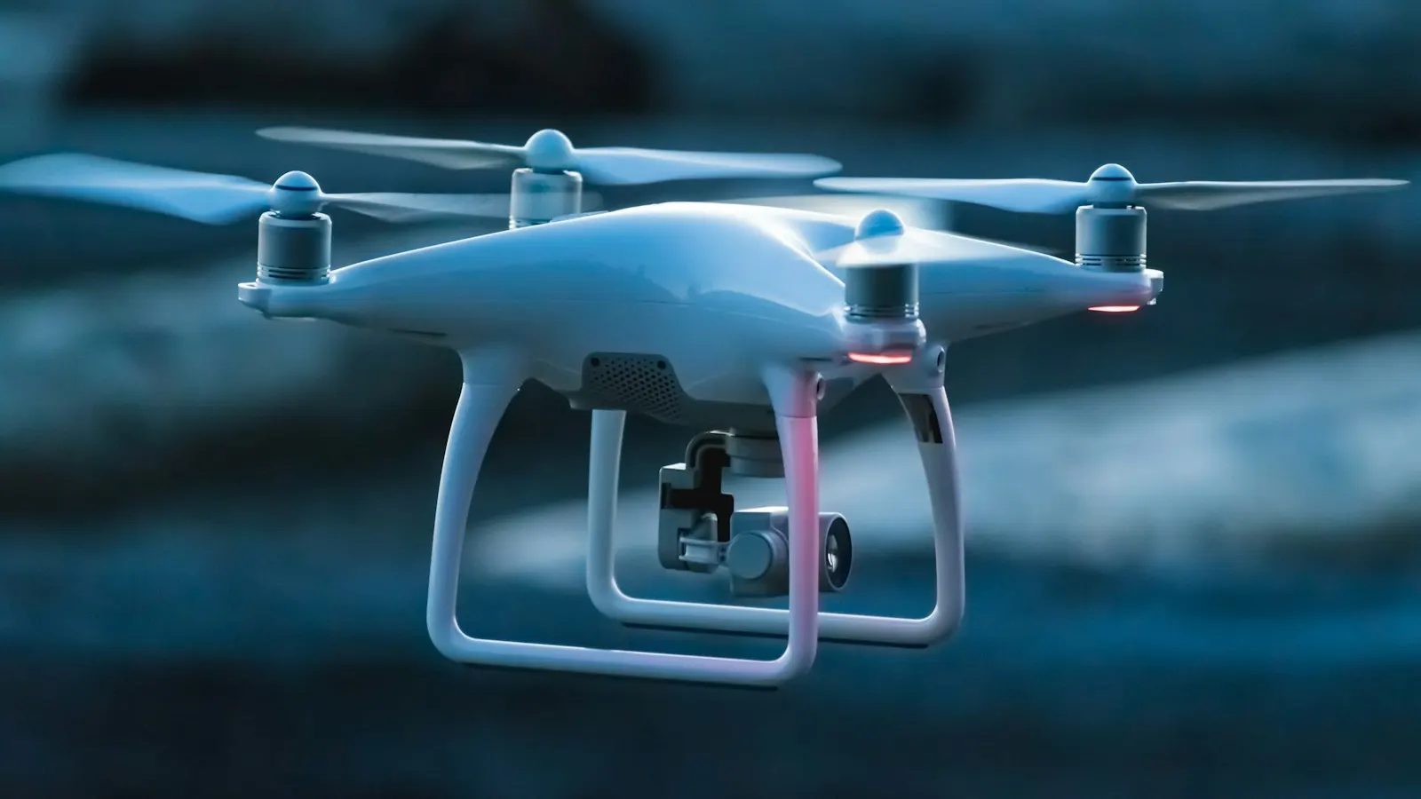
Drone and satellite imagery turned into insight
We capture and process drone and satellite imagery of the field, with vegetation indices that reveal vigor, gaps, and areas under stress. The whole crop in view, without having to walk every row on foot.
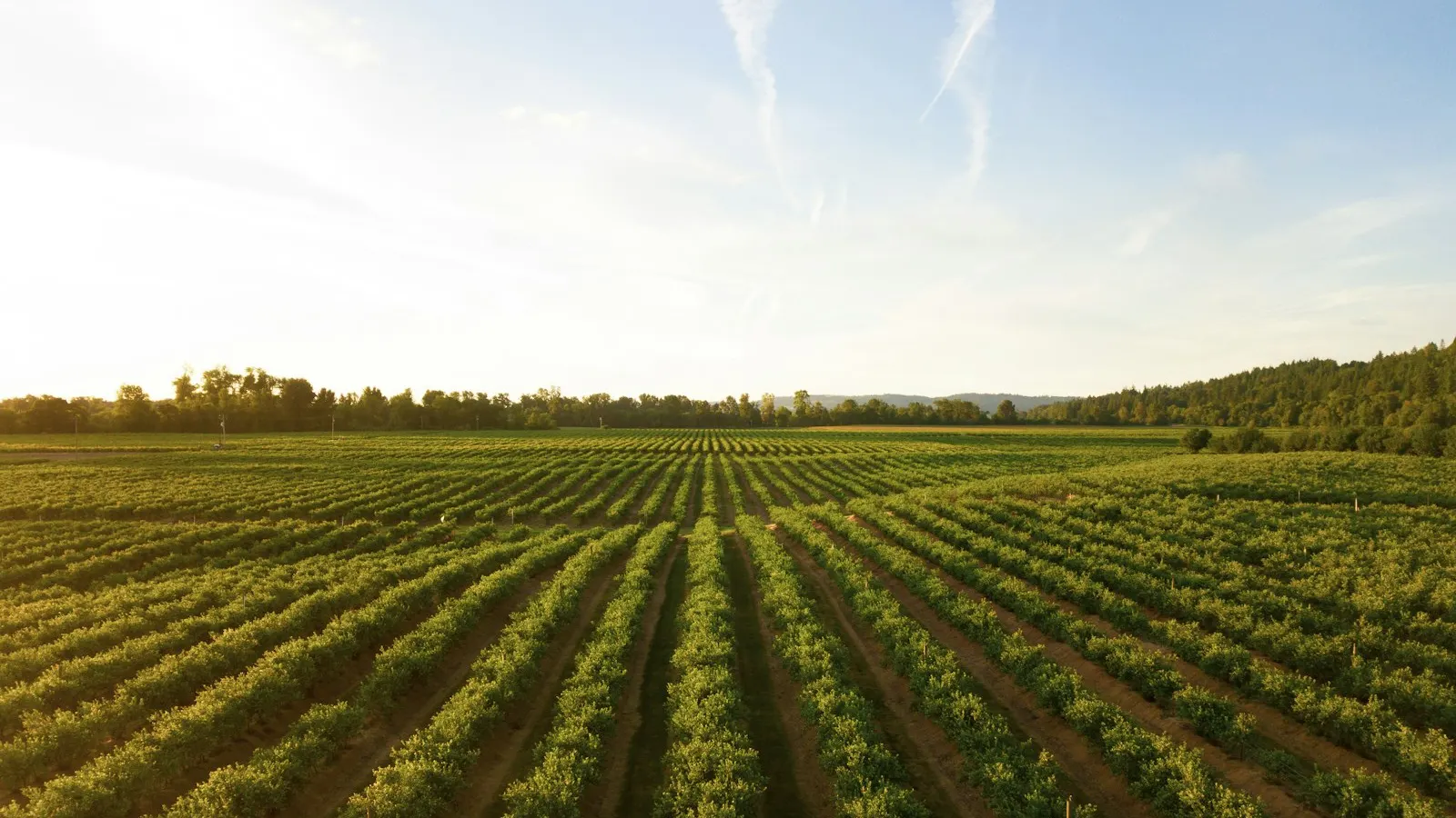
Yield map by management zone
We cross-reference harvest history, soil, and imagery to divide the field into management zones. You get to see, on the map, where the crop yields more and where it yields less — the basis for treating each zone by what it needs.
Variable-rate inputs by zone
We generate variable-rate application maps for seed, fertilizer, and crop protection, ready for the machinery. Each zone gets the right dose: more where there's potential, less where there's no return — less input, more yield.
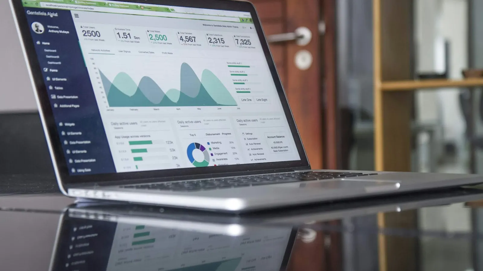
Resource-optimization dashboard
We bring zones, applications, and harvest results into a single panel, to track return by area and adjust the allocation of machinery, inputs, and water. That's the capability Luby delivers to turn field data into cost decisions.
Technologies
Technologies & partners
 Python
.svg) Node.js
Node.js AWSPythonNode.jsAWS
Common questions about precision agriculture
Let's treat every field by exactly what it needs
Bring your management and input-cost challenge. You'll leave the conversation with a clear technical path, from satellite imagery to the variable-rate map.